
Simsbury ZIP Code Coverage
Simsbury’s official street-list legend carries four postal keys. They describe delivery geography inside one incorporated town. The list also records number ranges, voting districts, grid sections, and road marks, so the exact number matters before a ZIP is assigned.
| ZIP Code | Area Label | Post Office Evidence | What the Key Means |
|---|---|---|---|
| 06070 | Simsbury | Simsbury, 932 Hopmeadow Street | Street-list key S; exact ranges control |
| 06081 | Tariffville | No separate USPS location page was captured | Street-list key T; local postal label |
| 06089 | Weatogue | Weatogue, 372 Hopmeadow Street | Street-list key W; exact ranges control |
| 06092 | West Simsbury | West Simsbury, 239 Farms Village Road | Street-list key WS; exact ranges control |
The research found no official resident, parcel, voter, or population count for each ZIP. A ZIP code directory can show how to route a record search, but it cannot honestly promise a ZIP-wide resident roster.
Finding Simsbury Records by ZIP
A ZIP code directory search is asymmetrical. The Judicial property-address portal accepts a required town and an optional five-digit ZIP, while eLicense accepts ZIP alongside credential and address fields. The Assessor begins with street, number, owner, MBL, or unique identifier. MapXpress displays spatial layers but no inspected ZIP filter. The SOTS public voter form was unavailable, so no ZIP search field is asserted there.
- Read the Town street list for the exact number, postal key, grid, and voting district. Do not assign a ZIP from the street name alone.
- Confirm the delivery label with a USPS location search or the relevant alternate office page.
- Use the Judicial property-address search when the question is a public foreclosure or other property-linked case. Enter Simsbury, the street or partial address, optional five-digit ZIP, property type, and case status.
- Use eLicense when the question concerns a credential or practice address. Do not turn its ZIP result into a household claim.
- For property research, narrow the Assessor by street and number or MBL, then follow title through the Town Clerk. A ZIP is a sorting clue, not the final identity key.
Once a ZIP narrows the search to a street and number, the Simsbury street directory workflow can carry the address through parcel, deed, and historical sources.
Simsbury ZIP Portal Fields
The most direct ZIP-capable screen inspected was the Connecticut Judicial Branch property-address search. It is a case finder, not a resident roll, but its fields show what a ZIP search can and cannot narrow.
| Case Type | Foreclosure Cases or the portal’s other property-case category. |
|---|---|
| City/Town | Required text field; at least three characters, with partial town text accepted. |
| Street Address | Optional partial street or address text. |
| Zip Code | Optional full five-digit ZIP only. |
| Property Type | Residential Properties, Commercial Properties, or All Properties. |
| Case Status | Active Cases, Disposed Cases, or All Cases. |
Foreclosure listings are generally shown on or after January 1, 2014, while the portal’s other property-case coverage starts on different dates by session. Some records can be removed after disposition. A result may identify a party, lender, owner, or prior litigant, so the ZIP field narrows a case search rather than revealing the people in a postal area.
ZIP Geography and Simsbury Town Lines
Tariffville, Weatogue, and West Simsbury are postal or village labels inside Simsbury, not separate incorporated municipalities or a county-seat route. A form can ask for legal town, postal city, state, and ZIP as separate fields. Keep each value as printed by the source instead of replacing Simsbury with a delivery label.
Address rule. Hopmeadow Street is the local test case: published number ranges carry different postal keys. Check the exact number and source date before comparing two records.
- ZIP versus ZIP+4
- A ZIP code is the five-digit delivery area. ZIP+4 adds four digits for a more precise delivery segment; it is not a legal parcel identifier.
- PO-box ZIP
- A postal code used mainly for post-office boxes or a special delivery route. It does not describe every physical street address nearby.
- Unique ZIP
- A code assigned to a single organization or special destination. None was established for Simsbury in the inspected research.
- Carrier route
- A delivery path used by the Postal Service. It is a routing concept, not a list of residents or a municipal boundary.
Simsbury ZIP Routing Evidence
The Simsbury USPS location page supplies the 06070 office reference and points toward alternate local labels. Use the postal page together with the Town street list, because the two sources answer related but different questions.
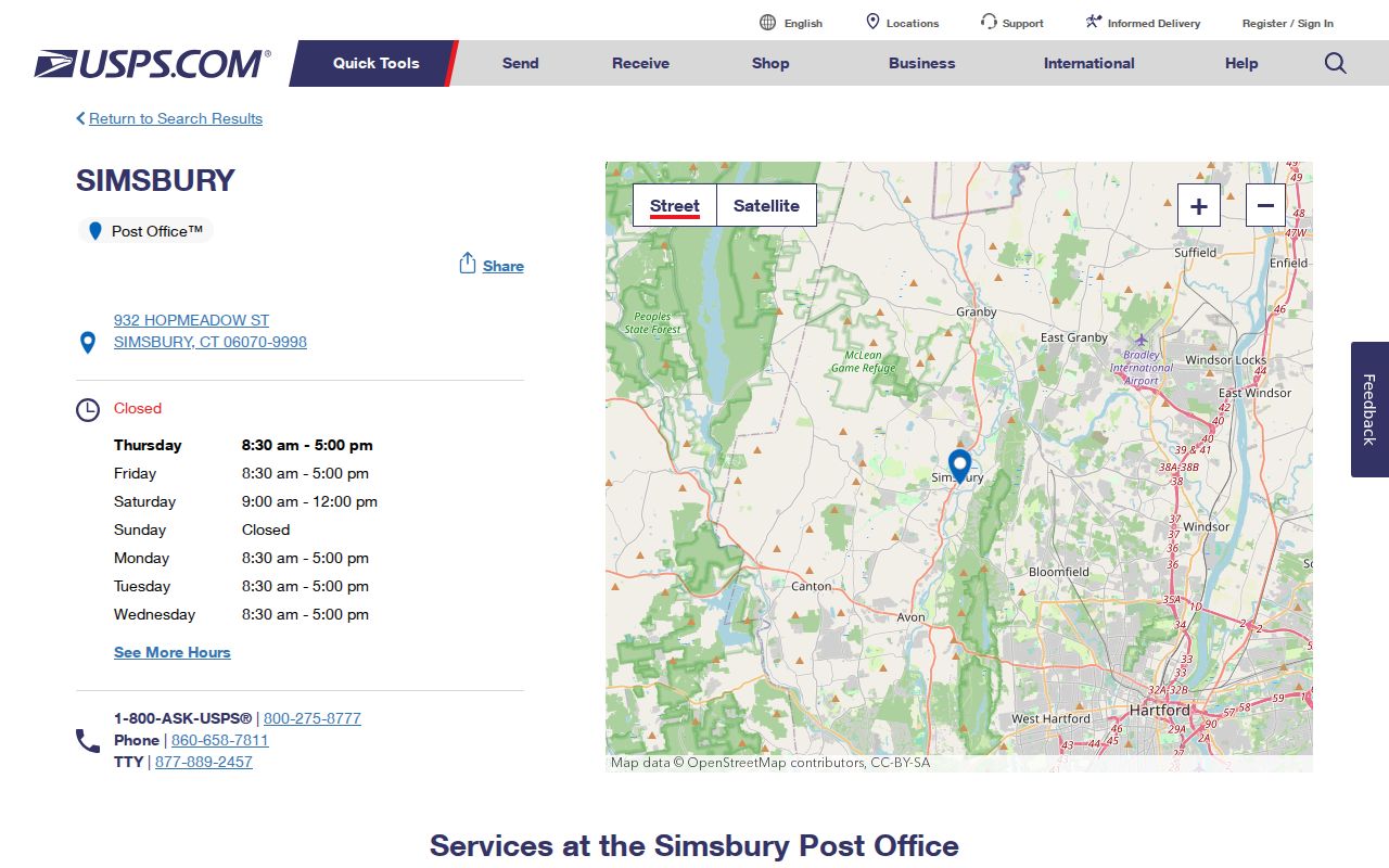
The Simsbury USPS capture documents the main 06070 route. It does not count residents or set the limits of the Town.
For a Weatogue label, use the USPS Weatogue location page and preserve the postal name in a separate field from the legal municipality.
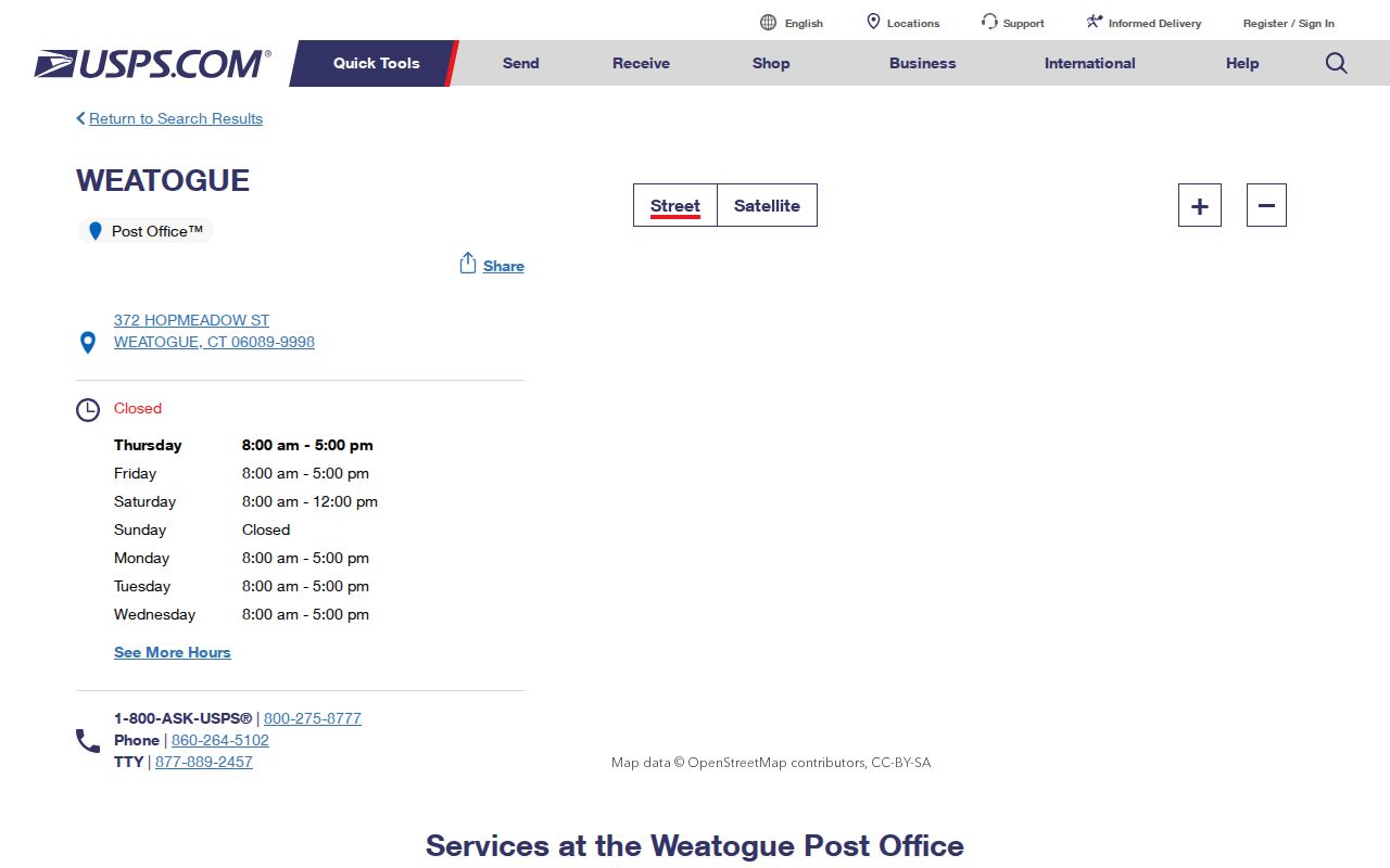
Weatogue is shown as a delivery location within the local address system, not as a separate town government. A form asking for town still calls for Simsbury.
The same distinction applies to West Simsbury. The USPS West Simsbury location page is current routing evidence, while the Town list supplies the address-key legend.
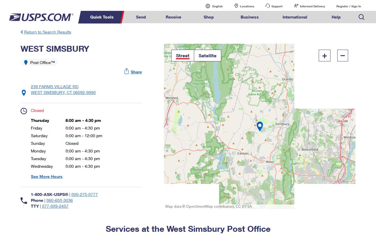
These postal captures help resolve labels in a form or historical clue. They do not identify the people connected with an address.
Simsbury ZIP Codes and Voting
The Town street list carries both ZIP keys and voting-district information, but one does not determine the other. Simsbury’s polling locations are Henry James Memorial School, Latimer Lane School in Weatogue, Tootin’ Hills School in West Simsbury, and Tariffville School. Use the number range and registrar route to confirm a polling assignment.
The SOTS voter lookup was blocked during inspection, and a full statewide file request costs $300 and carries election, scholarly, journalistic, political, or governmental-use limits. A ZIP-wide request cannot be treated as a public resident directory.
Historical Simsbury ZIP Labels
Older Simsbury directories and newspapers may use Simsbury, Weatogue, Tariffville, or West Simsbury differently from a current USPS form. A ZIP code directory can preserve that source-era label in a research note without treating it as a legal boundary. The research located no official ZIP-realignment history, street-renumbering year, or annexation-driven ZIP change. Preserve the source-era label and bridge it with the Historical Resources Inventory, 1923 and 1940 Sanborn references, a deed description, or the current MBL/GIS parcel.
A changed postal designation would not by itself prove a changed owner, town boundary, or household. Pair the address with a date and another record before calling two entries the same place.
Simsbury ZIP Code Search Limits
A ZIP code directory can narrow geography, but it cannot show every person, every household member, or a current occupant. Parcel names are tax-associated, court results are case-linked, credential addresses are filing data, and voter visibility is shaped by state privacy rules and list maintenance. The Address Confidentiality Program and voter privacy program can make an official result absent without proving nonresidence.
Keep a small evidence note with the ZIP, exact address, source, date, and purpose. If a public record is wrong, ask its custodian about correction. Connecticut FOI requests can seek a defined existing municipal record under CGS §§1-200 et seq., especially §§1-210 and 1-212, but cannot require a new all-residents list or override protected information.
The fallback chain is local and concrete: the Town street list for ranges, USPS for delivery labels, the Assessor or MapXpress for parcel clues, the Judicial Branch or eLicense for their limited ZIP filters, and the Town Clerk or Registrar for office-held records. Libraries and archives are the better route for source-era labels. No official ZIP-realignment history or ZIP-wide resident count was located, so those gaps should remain visible.