
Finding Who Lives on a Simsbury Street
A street search works best as an evidence chain. First make the address exact. Then use the parcel and tax record to find a name associated with the property, the Town Clerk land-record index to trace title, the voter route for registration evidence, and libraries or historical collections for past households. The word “lives” needs care: public systems may show an owner, a registered voter, a deed party, or an old directory entry without showing every person who occupies a place.
The following order keeps a street directory tied to the record that can actually support each step.
- Confirm the street name, number, postal key, voting district, and grid entry in the Town’s official street list.
- Search the Assessor’s Property Record Cards by location, owner name, MBL, unique identifier, or use, then note the result date.
- Carry the owner or grantee name into the Town Clerk and RECORDhub deed index, moving backward through the grantor and grantee chain.
- Use the Connecticut voter route or local registrar only for the registration fact allowed by current state rules.
- For an earlier household, compare a directory citation, newspaper, obituary, map, or library index with the address-era spelling.
Stop when the evidence changes category. A parcel clue is not occupancy proof, and a historical name should not be reported as current without a dated source.
Simsbury Records Searchable by Street
Simsbury address records sit in several offices. The street list normalizes a number and postal key. The assessor ties a location to a tax-associated name and parcel fields. MapXpress shows geometry and layers. RECORDhub carries the recorded instrument trail. Building files can date work or an assigned address, while a court property search can surface a case lead. Historical sources bridge old street forms and earlier households.
| Record set | Address key | Person or structure information | Practical use |
|---|---|---|---|
| Town street list | Number, range, and street name | ZIP key, voting district, grid, and road marks | Normalize the address before searching |
| Assessor property card | Location number, name, and unit; MBL or unique ID | Tax-associated name, use, acreage, building, and sale fields | Browse a street or narrow a name, not occupancy |
| GIS parcel | Parcel polygon and map selection | Adjacency, zoning, voting, historic, environmental, and aerial context | Click the target and nearby parcels |
| RECORDhub deed index | Grantor, grantee, and instrument | Recorded title chain, legal description, and images where available | Confirm ownership and past title |
| Building permit | Property address and permit number | Work, owner or contractor fields, inspections, and close date | Date a structure change; no public result index located |
| Historical collections | Printed or digitized address, name, or map | Past households, structure use, obituary, and civic clues | Bridge old numbers and source-era labels |
No one row is a complete resident directory. The useful chain is address to parcel, parcel to owner clue, owner to deed, and date to the right historical or civic source.
The Connecticut Judicial Branch property-address search accepts a required town, an optional street address, an optional five-digit ZIP, property type, case type, and case status. A result is a case lead tied to an address, not a resident roster.
Simsbury Street List and ZIP Keys
The official Simsbury street list PDF uses S 06070 for Simsbury, T 06081 for Tariffville, W 06089 for Weatogue, and WS 06092 for West Simsbury. It also shows voting district, grid section, and private, state, or paper-road marks. These letters are the Town’s address key. They are not separate incorporated towns.
Number matters as much as street name. Hopmeadow Street is divided into published ranges, including 1 to 446 W, 447 to 641 S, 720 to 1091 S, and 1243 and higher S. A street-only lookup can therefore assign the wrong postal label. Preserve the exact source-era label when working with an older deed, directory, or newspaper, then add a separate note for the modern town and ZIP.
The list also helps map a polling district, but a polling location is an election access fact, not a list of people at an address. Postal geography, voting geography, tax geography, and legal property geography must remain separate.
Simsbury Street Assessor Fields
The Assessor Property Record Cards search is the main current street-by-street portal. It supports an owner-name search, a street number and name, a unit, MBL, unique identifier, condominium complex, and property-use category. The portal says a blank property-use choice means all uses, while selecting one category can narrow the result. Keep the portal’s exact spelling for a street and parcel key.
| Field or control | Type | Required or format note |
|---|---|---|
| Property Use | Checkbox group | Includes residential, church, farms/barns, office, retail, school, vacant land, and other choices |
| Owner Name (Last First) | Text | Partial last name suggested, such as Smith |
| Location number | Text | Street number |
| Location name | Dropdown | Street-name choice |
| Location unit | Text | Unit or suite when present |
| MBL | Text | Use the exact portal value |
| Unique Identifier | Text | Portal-specific identifier |
| Condominium Complex | Dropdown | Complex choice |
| Search / Clear | Buttons | Run or reset the search |
The described result columns are Street Name, Number, Unit, Name, Uniqueid, MBL, Property Use, Acres, Zone, Buildings, and Condo Complex. “Name” is associated with the tax record. The Assessor says it no longer creates abutters’ lists as of February 12, 2018, so a street search must not be described as a ready-made household roster. The Assessor office, phone route, or a defined existing-record request are the fallback channels when the web portal is not enough.
The Simsbury property search opens the same field set. The portal showed records updated 08/20/2026 and a 70% assessment basis at the 2022 revaluation, so both date and purpose belong beside a saved result.
Simsbury Street GIS Parcel Layers
MapXpress is a spatial tool, not a second assessor card. Its viewer has Search, Select, Parcel Information, Print, legend, pan, zoom, and measurement controls. Layer groups include the assessor grid, parcels, zoning, voting districts and polling places, historic documentation, wetlands, flood mapping, public property, open space, and aerial imagery. A street directory becomes more useful when the selected parcel and its surroundings are visible together.
Open the direct viewer, locate the street or parcel, turn on the Assessor Grid and parcel information, and click the target polygon. Then click adjacent polygons one at a time if a block question remains. The inspected viewer had no radius filter or neighbors table. Map updates are described as annual for parcel maps and daily for ownership data, with about 10,610 parcels in the indexed description, but the public warning says GIS information may not be current and is not legal evidence.
Use GIS to discover the parcel and nearby shape. Use the deed, survey, or legal description for a boundary question. The Simsbury parcel viewer is the map route, while a phone or in-person Assessor request remains available for a defined record question.
Simsbury Street Building Trail
The Simsbury Building Department assigns street addresses and handles the Connecticut Building Code, zoning, historic-district, and oil-tank requirements. Its paper permit form includes the property address, type, estimated cost, work description, owner and contractor fields, inspections, other approvals, permit number, issue date, and close date. Those fields can help date a structure or address change, but they do not make an occupant list.
Online submissions use CitySquared with one-time registration, plan upload, and card or ACH payment. The Town also lists in-person cash or check, and Municity help at 855-436-5500 option 2. The public permit-result index was not located, so an older permit should be requested from the department as an existing record with a defined address and date.
Current policy details matter. Effective July 1, 2025, the listed construction fee is $16.26 per $1,000 or portion, with a $25 zoning-compliance fee for listed projects, a $5 certificate-of-occupancy fee when applicable, and an added $5 per $1,000 fire review for commercial, industrial, and multifamily work. From October 3, 2025, the Town says a permit or certificate is not issued for property with delinquent taxes or charges. Confirm the current fee before using it in a request.
The Simsbury building permit form is a field guide for an address-history request. Owner and contractor contact fields should not be copied into a public people list.
Trace a Simsbury Street Through Deeds
The Town Clerk is the local land-record custodian. Its land-record page routes to RECORDhub, then Search Sites, then Simsbury. The complimentary option provides index view and print, while the land-record option adds images under the portal’s account and subscription terms. Town material observed online coverage back to 1976, but that is a coverage observation, not a promise that every image is present.
For a present parcel, start with the assessor name or parcel clue, search the grantee, read the prior grantor, and repeat backward. Track recording date, execution date, book and page or instrument number, legal description, consideration or tax, easements, restrictions, and corrective documents. A grantee can be a prior owner without being a prior occupant. Older deeds may require a Town Clerk vault retrieval, scan, email, mail request, phone call, or in-office review.
The RECORDhub deed-index route is shown below. It is an index and image access point, not a live street roster.
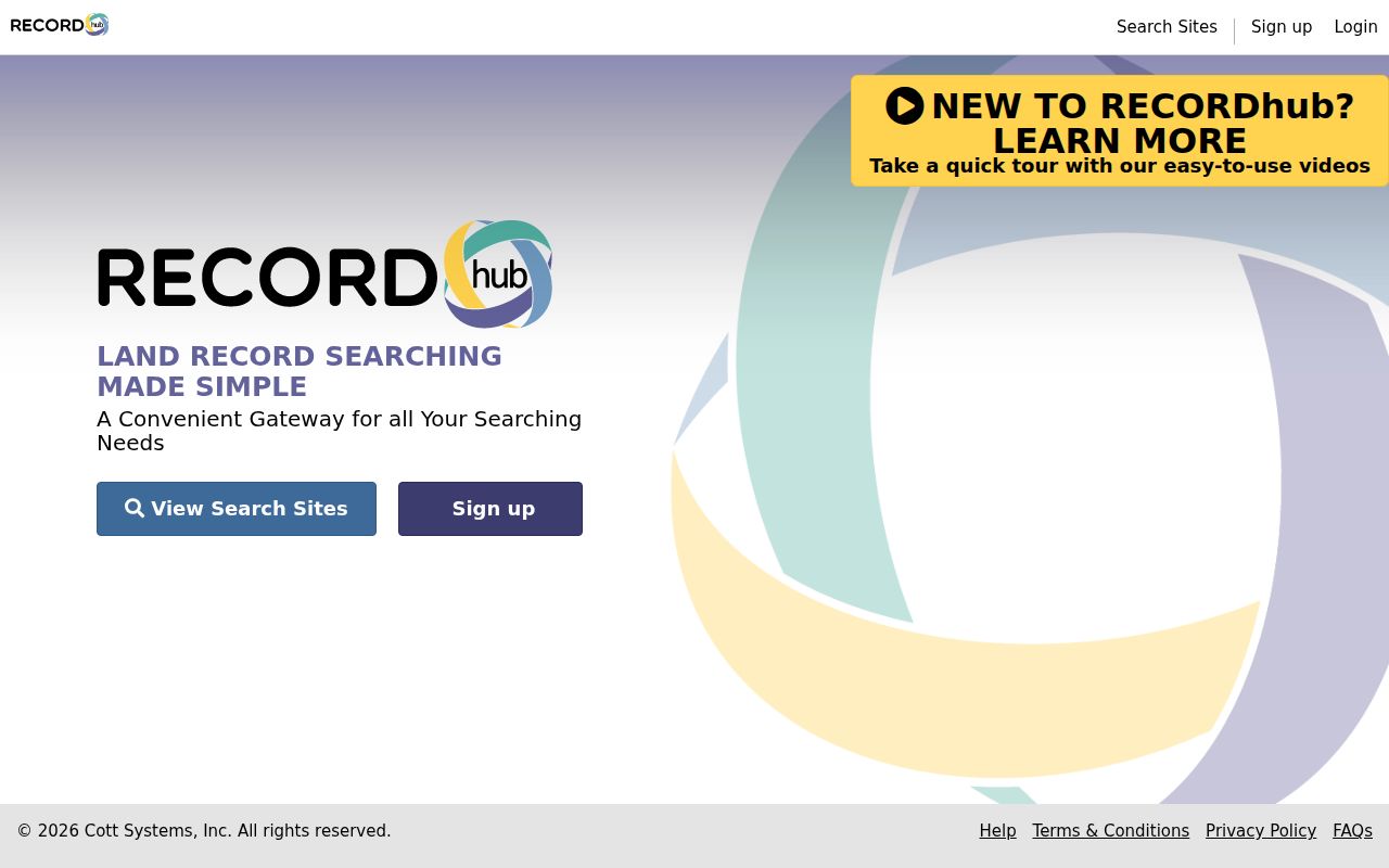
The image illustrates the free-index versus paid-image distinction. Verify a title claim with the Town Clerk and use the exact legal description when a map or street label does not line up.
Simsbury Street Mailing Addresses
A situs address is the physical location used to identify a parcel. A mailing address is where a tax bill or notice goes. A deed may use a legal description, a court search uses a town and street, and USPS uses a postal city and ZIP. The assessor’s Location fields are a property route, while an owner’s mailing address may sit somewhere else.
Tariffville, Weatogue, and West Simsbury are postal or village labels within Simsbury. Keep the legal municipality as Simsbury when a form asks for town, but preserve the source’s postal label when comparing a directory, newspaper, or older deed. The four values worth storing are legal town, postal label and ZIP, voting district, and parcel or MBL.
The USPS Simsbury location record can help check current postal routing, but it cannot establish ownership, occupancy, or a municipal boundary. Historical normalization needs the source-era label, a map or inventory, and the current parcel key.
Historical Simsbury Street Residents
Older street research is not a simple reverse lookup. The official inventory cites Hartford Little Suburban Directory volumes for 1913 and 1915, and Farmington Valley Directory volumes for 1917, 1928, and 1932. A separate verified Simsbury criss-cross run was not located. A 1934 directory-style item has district, name-and-address, and telephone columns, but OCR can pair the rows incorrectly.
For a past household, preserve the printed street and village label, compare the entry with a deed or newspaper, and use the Free Library Quarterly index beside its marriage, death, and obituary indexes for a second date. The local public library’s database is historical and no longer updated. Local historical archives and the official historic and architectural inventory are fallback channels when a web search ends.
When the aim shifts from a whole street to one person, the Simsbury resident lookup workflow helps keep event, title, voter, court, and historical evidence separate. The full directory shelf and year-by-year caveats belong in the Simsbury Directory Book.
Simsbury Street Record Terms
Small record words carry large differences. Use the term that matches the source, especially when an address search crosses a parcel, deed, map, and historical directory.
- Parcel
- A mapped piece of land identified through the assessor, GIS, deed, or legal description.
- Situs address
- The physical location assigned to a property, which may differ from a mailing address.
- Plat
- A recorded map showing lots, roads, boundaries, or related land divisions.
- Criss-cross directory
- A reverse directory that starts with a street address and points to a name. No verified local run was located.
These definitions explain why a GIS click, assessor result, deed image, and old directory entry may all use different keys for the same place. Record each key instead of silently merging them.
What a Simsbury Street Directory Cannot Show
A street directory cannot show every person connected with a property. The assessor’s name is not an occupancy field. The voter lookup was not available for exact interface inspection and is limited by current privacy rules. Court results are case leads. Building forms expose administrative fields but no public permit-result index was located. Libraries preserve historical clues, not a complete current roster.
Protected voter status, the Address Confidentiality Program, restricted vital records, sealed or protected court material, police exemptions, and library confidentiality can all create a gap. A no-result may reflect access or retention rather than nonresidence. Do not use a name, parcel, or address result to publish a sensitive detail that is not needed for the research question.
Lawful personal use. Simsbury street and address records are for careful, lawful research. Use the minimum necessary detail, verify with the custodian, and never use a street trail to stalk, harass, threaten, or harm another person.
Simsbury Street Access and Privacy
Online tools are only one part of the route. The Town Clerk, Assessor, Building Department, Registrars, Police Records, libraries, Historical Society, courthouse, and state agencies accept different combinations of in-person, phone, mail, email, appointment, and written-record requests. A Connecticut FOI request can seek an existing, defined, non-exempt municipal record, but it cannot make an office create a new resident list or override a protected category.
Keep a search note with the source, date, address form, result field, and limitation. If the question concerns title, ask for the deed or certified copy. If it concerns a structure, ask for the dated permit or certificate record. If it concerns a past household, ask a library or archive for the original issue or finding-aid row. This source trail is more reliable than a single street-directory label.